Entities
View all entitiesCSETv1 Taxonomy Classifications
Taxonomy DetailsIncident Number
22
CSETv0 Taxonomy Classifications
Taxonomy DetailsProblem Nature
Robustness
Physical System
Software only
Level of Autonomy
Medium
Nature of End User
Amateur
Public Sector Deployment
No
Data Inputs
Traffic patterns, human operator input
Risk Subdomain
7.3. Lack of capability or robustness
Risk Domain
- AI system safety, failures, and limitations
Entity
AI
Timing
Post-deployment
Intent
Unintentional
Incident Reports
Reports Timeline
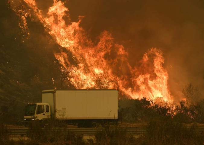
California residents looking to avoid routes that were full of hazards from the wildfires burning across the southern region of the state were getting directions that accomplished the opposite of that this week. As fires burned and spread r…

Law enforcement vehicles patrol a neighborhood in a mandatory evacuation area on Dec. 5 in Ventura. (Marcus Yam / Los Angeles Times)
Jacking up prices for essentials during a state of emergency is illegal, California Atty. Gen. Xavier Becer…

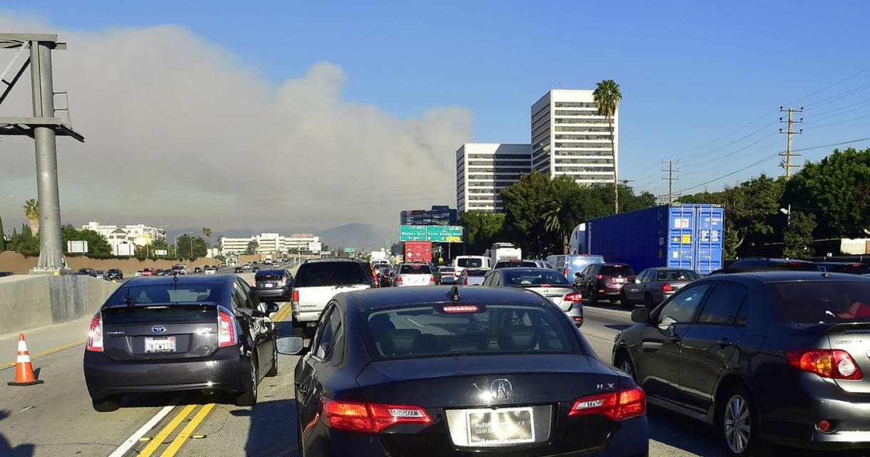
There are currently multiple fires raging across Southern California, one of which forced the notoriously clogged 405 Freeway in Los Angeles to shut down.
Big fires force people to find new routes — including people using apps like Waze and…

The Los Angeles Police Department is reportedly telling motorists to avoid using navigation apps when attempting to circumvent the region's wildfires.
According to the Los Angeles Times, authorities fear that these programs will guide motor…
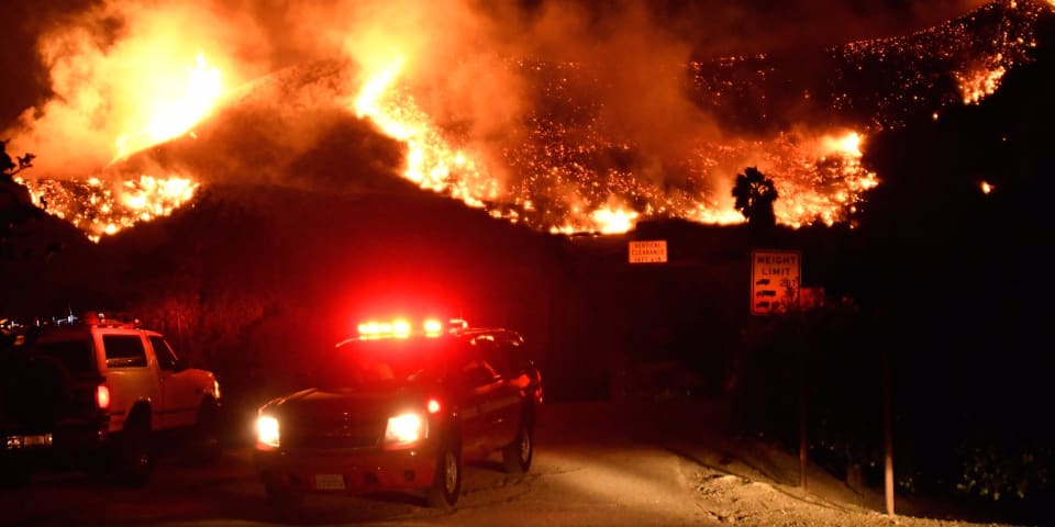
Emergency crews in Southern California block a roadway as flames spread from a wind-driven brush fire. REUTERS/Gene Blevins
Southern California residents and visitors fleeing the wildfires raging around Los Angeles are contending with a new…

Google’s popular navigation app, Waze, is directing some drivers into neighborhoods where wildfires in Southern California have forced road closures, USA Today reported Thursday.
Waze's mission is to put users on less traveled routes to avo…

Race to contain deadly blazes as authorities warn 80mph gusts could fan flames in already devastated communities
This article is more than 1 year old
This article is more than 1 year old
Wildfires blazing through California have entered the…
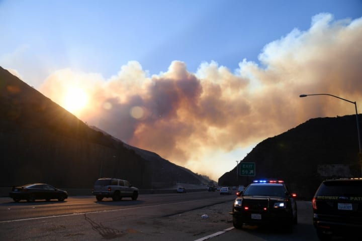
The Los Angeles Police Department cautioned drivers this week not to use navigation apps like Google Maps and Waze while trying to find their way from a fire zone.
Officials said some drivers attempting to circumvent the Skirball Fire, whic…
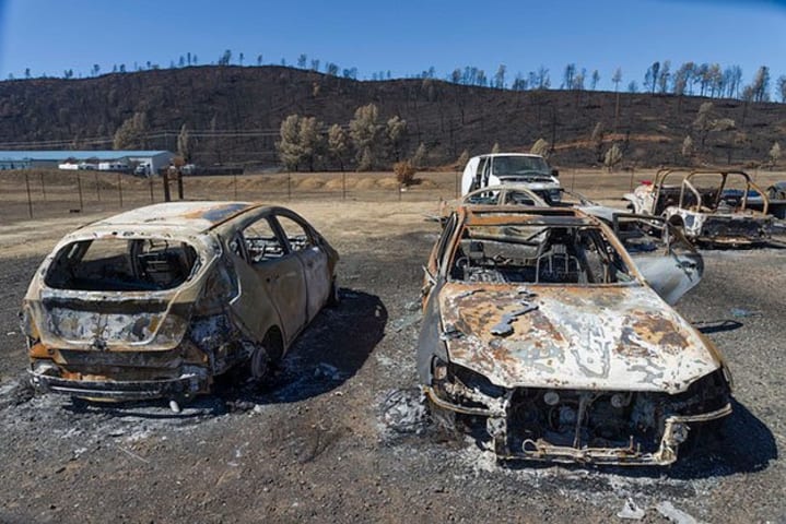
The aftermath of a wildfire in 2015 (Image Source: The aftermath of a wildfire in 2015 (Image Source: Flickr via Bob Dass
Google maps, waze, and apple maps all seem to think I can take the 405 to work and drive right through the fire withou…
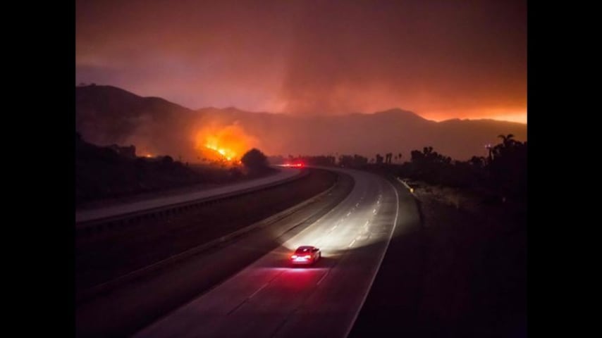
Users of popular navigation apps like Waze are warning the services directed them to neighborhoods where wildfires forced closures and evacuations.
The issue stems from the way apps like Waze help users avoid commute nightmares such as heav…
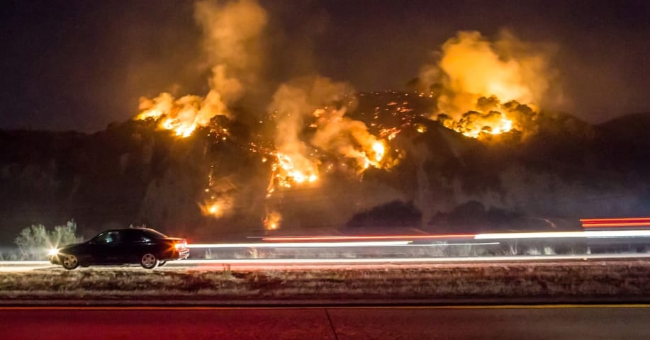
Users of popular navigation apps like Waze are warning the services directed them to neighborhoods where wildfires forced closures and evacuations.
The issue stems from the way apps like Waze help users avoid commute nightmares such as heav…
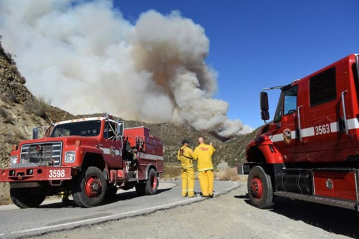
Google's navigation app, Waze, is directing some drivers right into neighborhoods where wildfires in Southern California have forced road closures and evacuations, USA Today reported Thursday.
Roads closed as a result of the wind-whipped fi…
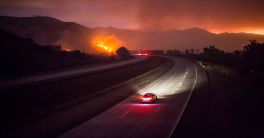
CLOSE This was startling scene along Interstate 405 in Los Angeles as a wildfire engulfed the hills. USA TODAY
The 101 Highway was closed after the Thomas Fire jumped the road towards the Pacific Coast Highway in Ventura, California, Decemb…

MARK RALSTON/AFP/Getty Images
At least five wildfires have been blazing in Southern California over the past week, engulfing tens of thousands of acres and more than 150 homes.
On Wednesday, the Los Angeles Times reported that the Los Angel…

LOS ANGELES During this week’s wildfires, navigation apps like Waze and Google Maps were guiding drivers into evacuation areas and caused congestion where officials were ordering streets closed, according to a motion introduced by Los Angel…
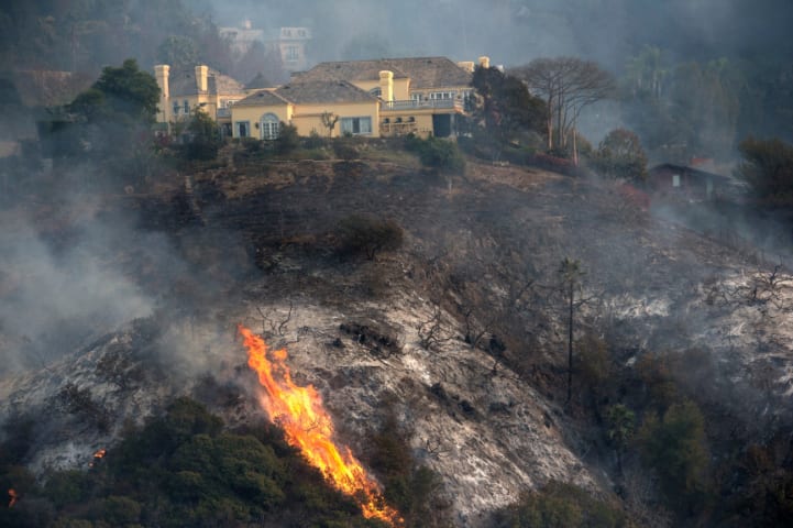
LOS ANGELES During this week’s wildfires, navigation apps like Waze and Google Maps were guiding drivers into evacuation areas and caused congestion where officials were ordering streets closed, according to a motion introduced by Los Angel…

LOS ANGELES During this week’s wildfires, navigation apps like Waze and Google Maps were guiding drivers into evacuation areas and caused congestion where officials were ordering streets closed, according to a motion introduced by Los Angel…

The ongoing wildfires in Southern California have destroyed hundreds of homes and forced 200,000 people to evacuate. And with so many fleeing for safety, people have suddenly had to confront a once hypothetical question: How well can naviga…

When it first debuted in 2007, navigation app Waze had a simple mission: make commuting easier by developing a community of drivers who are able to inform each other about road conditions.
The idea is that, like Google Maps, Waze will give …
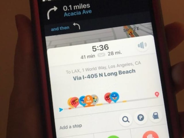
LOS ANGELES, CA — Mobile traffic applications such as Waze are causing a dangerous flood of traffic to be funneled onto tiny Los Angeles side streets, and the city should develop ways to curb the apps from diverting drivers off of major tho…
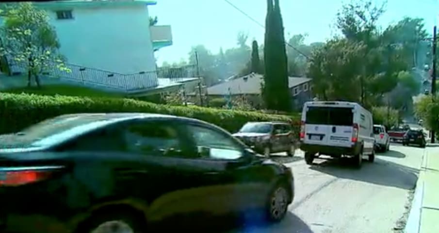
Another Motion to curb traffic navigation apps has been introduced out of concern traffic apps have been clogging side streets with drivers and sending them into evacuated areas during emergencies.
Councilmember Paul Koretz (CD5) introduced…
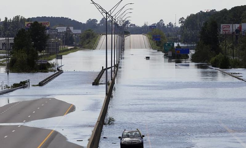
Navigation apps like Waze are trying to help motorists avoid hurricane flooding. But can people really rely on their smartphones to steer themselves out of a disaster zone?
Amid heavy rain from Florence, some smartphone or in-car map direct…
Variants
Similar Incidents
Did our AI mess up? Flag the unrelated incidents
Similar Incidents
Did our AI mess up? Flag the unrelated incidents


