Associated Incidents
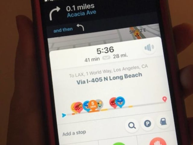
LOS ANGELES, CA — Mobile traffic applications such as Waze are causing a dangerous flood of traffic to be funneled onto tiny Los Angeles side streets, and the city should develop ways to curb the apps from diverting drivers off of major thoroughfares, a Los Angeles city councilman said Wednesday.
"Residents in my district and throughout the city have experienced a major surge in dangerous and disruptive cut-through traffic in recent years," said Paul Krekorian, who represents parts of the San Fernando Valley, including Studio City and North Hollywood.
"Mobile app makers are sacrificing the quality of life in our neighborhoods, just so drivers can save a few seconds or minutes with an alternate route," he said. "We have an obligation to see what can be done to protect our neighborhoods and prevent these apps from continuing to divert drivers from major avenues onto small residential streets that aren't designed to accommodate high-volume traffic."
The city has a data sharing agreement with Waze, and Krekorian introduced a motion that would direct the city's Department of Transportation to report to the City Council on the current partnership with Waze and other app operators, including detailing what information L.A. gives them and what the city gets from them.
The motion would also ask the department what efforts it has made to get the app companies to address neighborhood concerns, call on the city attorney to analyze whether app companies share liability for damages in collisions caused by their users, and urge the City Council to request the app companies make their representatives available to work with the city" to reduce problems caused by their technology."
Google, which owns Waze, did not immediately respond to a request to comment.
Krekorian introduced a similar motion in 2015 that asked Waze to partner with the city and alleviate traffic on residential streets, but he said Waze ignored the request.
"The real-world neighborhood impacts of sending distracted, stressed and/or lost drivers down unfamiliar streets remain," Krekorian's new motion says. "And while there are certainly other factors that contribute to the overwhelming amount of traffic in narrow, neighborhood feeder streets, map app makers -- like Google, Apple and Waze -- have shown little interest in helping neighborhoods reduce the hazards on their streets."
Krekorian is not the only council member to raise issues about Waze and safety.
During a series of wildfires in December, navigation apps like Waze and Google Maps were guiding drivers into evacuation areas and caused congestion where officials were ordering streets closed, according to a pending motion introduced that month by Los Angeles City Councilman Paul Koretz.
The Creek and Skirball fires, near Sylmar and Bel-Air, respectively, caused large-scale evacuations of streets and neighborhoods, and the motion said navigation apps were directing drivers to those areas because the data indicated there was no traffic there.
"Cut-through traffic directed by Waze and other navigation apps has long created problems in many residential neighborhoods. But on the day of the Skirball Fire evacuation, drivers' phones were navigating them into the fire zone, onto streets they weren't familiar with," Koretz told City News Service when he introduced the motion.
"Not only did it steer them into life-threatening danger, but it caused congestion where public safety officials were ordering streets cleared so residents under evacuation orders could safely get out and we could get our fire equipment in," he said. "With a simple change in the program code, this could be avoided in the future."
Koretz's motion would direct the fire department and Department of Transportation to report on efforts to coordinate with navigation app developers to prevent their apps from directing drivers into evacuated areas.
City News Service; Photo By Patch